- HOME
- ABOUT US
- OUR PRODUCTS
- Gorilla Tracking in Uganda
- Gorilla Tracking in Rwanda
- Chimpanzee Tracking In Uganda
- Golden Monkey Tracking in Uganda (Mgahinga Gorilla N.P)
- Magical Kenya Safaris
- East Africa Wildlife Safaris
- City Tours
- Education & Adventure Trips
- Wild Mobile Camping Safaris (Wild Adventure)
- Unique Tourism Experiences in Burundi
- The Great Wildebeests Migration in Tanzania
- Walking & Biking Safaris
- DESTINATION & SAFARI EXPERIENCES
- UGANDA
- Introduction to Uganda
- National Parks
- Bwindi Impenetrable National Park
- Murchison Falls National Park
- Queen Elizabeth National Park
- Kidepo National Park
- Pian Upe Wildlife Reserve
- Lake Mburo National Park
- Kibale National Park
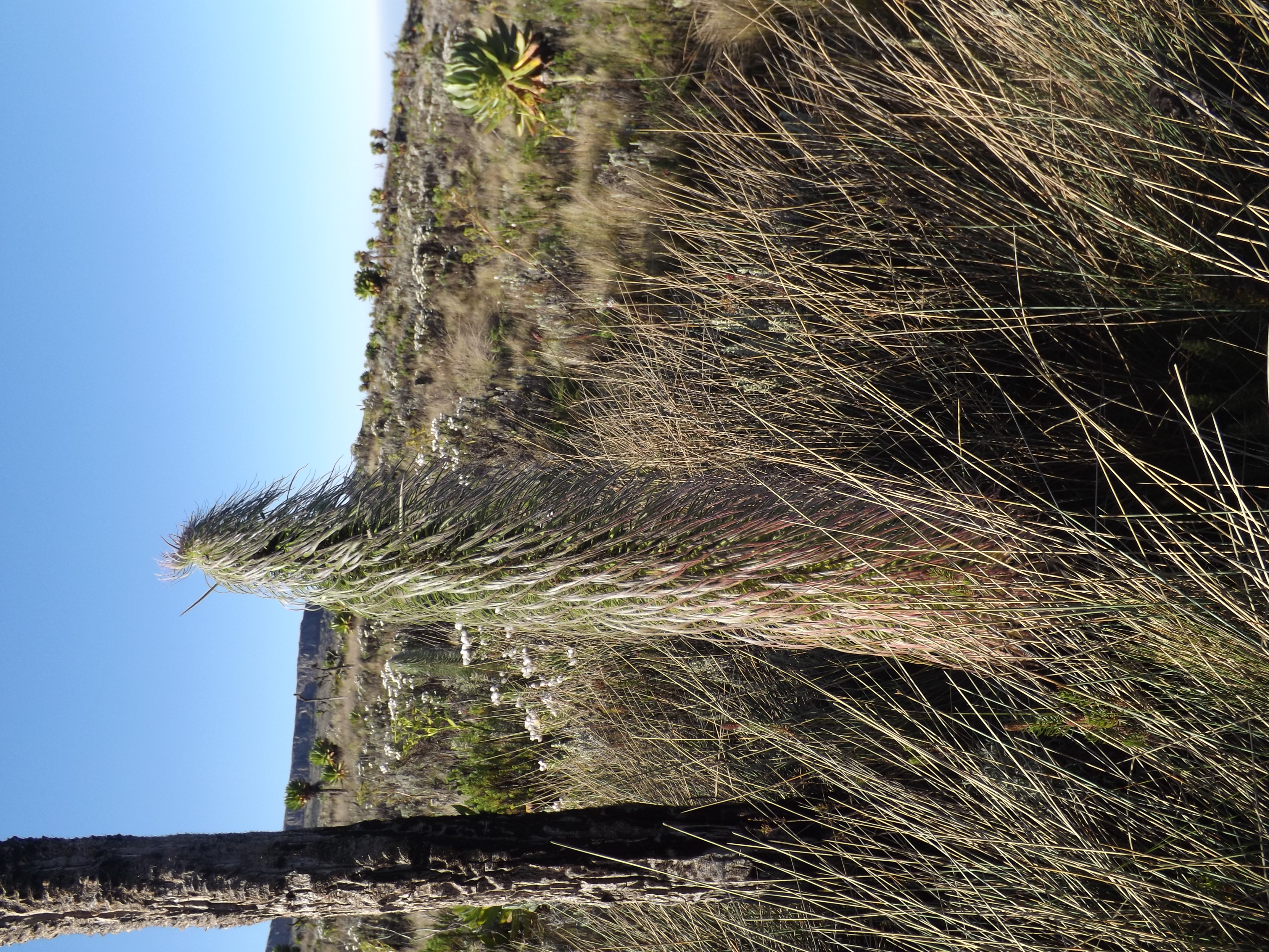
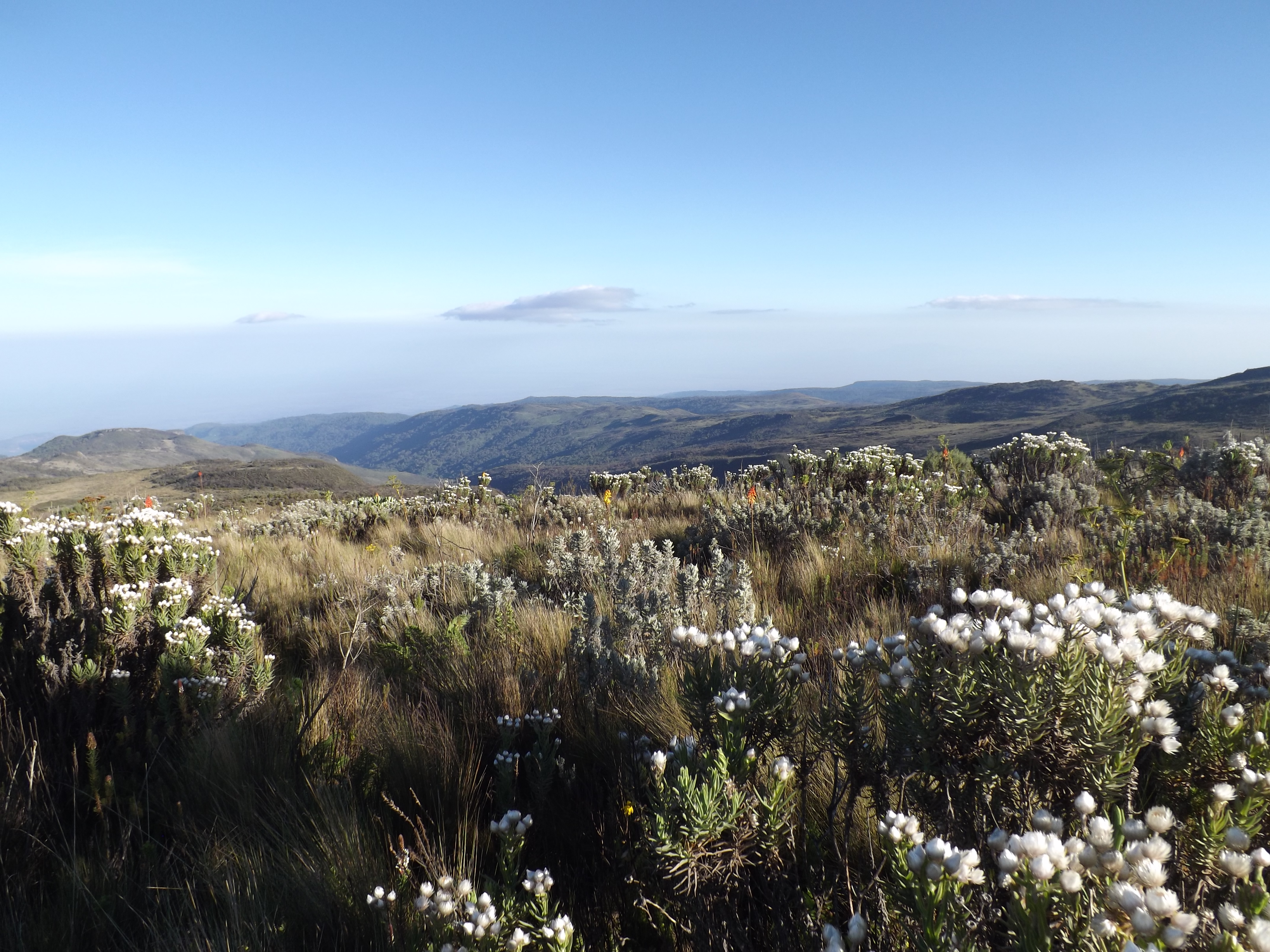
- Mt. Rwenzori National Park
- Mt. Elgon National Park
- Mgahinga Gorilla National Park
- Semiliki National Park
- Toro Semiliki Wildlife Reserve
- Katonga Wildlife Reserve
- Echuya Central Forest Reserve
- Safari Cost & Itineraries
- Gorilla Tracking Experience -Uganda
- Chimpanzee Tracking Itineraries
- Short Wildlife Safari Itineraries
- Medium – Long Safari Itineraries
- Uganda Total Experience Safari Itineraries
- Buganda cultural Heritage Tours
- Mountain Climbing Safari Itineraries
- Cultural Heritages & Village Safaris
- Kampala, Entebbe & Jinja City Tours
- Uganda Traveler’s Tips
- KENYA
- RWANDA
- TANZANIA
- BURUNDI
- UGANDA
- DETAILED ITINERARIES
- PHOTO GALLERY
- HALAL TOURISM EXPERIENCES
- INQUIRIES
- LINKS
- APOGEE SAFARIS BLOGS